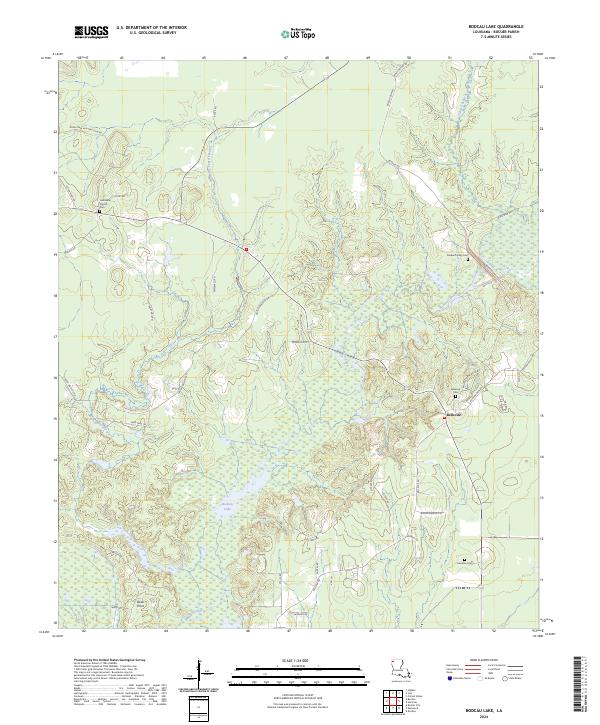
2024 Map of Bodcau Lake
USGS Topo · Published 2024About this map
Bellevue and the surrounding woodlands of Bossier Parish are defined by the winding course of Bodcau Creek and the sprawling waters of Bodcau Lake. This modern topographic study reveals a landscape where historical burial grounds and rural congregations remain central to the community fabric. Local genealogists will find several significant sites, including the Bellevue Cem, the Durden Family Cem, and the Hawkins Cem, alongside the Friendship Church and its associated Friendship Church Cem. The terrain is deeply intersected by waterways like Dry Cypress Bayou and Tidwell Branch, which dictate the placement of local thoroughfares such as Linton Bellevue Rd and Bodcau Dam Rd. These roads connect small settlements like Dean Point to the broader parish, illustrating a pattern of development that respects the natural lowlands and bayous of the Red River basin.
Find a feature on this map
44 named features on this map. Tap any name to fly to it.
Don’t see what you’re looking for? This feature index may not catch every label — zoom into the map to look around manually.
Map Details
Editions of this 2024 Bodcau Lake Map
This is the sole edition of this map. No revisions or reprints were ever made.
Other maps of this area

1922 · Sarepta
USGS Topo · 1:62,500

1924 · Sarepta
USGS Topo · 1:62,500

1932 · Bossier SE
USGS Topo · 1:31,680

1932 · Bossier NE
USGS Topo · 1:31,680

1932 · Bossier SW
USGS Topo · 1:31,680

1932 · Bossier NW
USGS Topo · 1:31,680

1947 · Minden
USGS Topo · 1:62,500

1948 · Bossier City
USGS Topo · 1:62,500

1949 · Minden
USGS Topo · 1:62,500

1950 · Plain Dealing SW
USGS Topo · 1:31,680