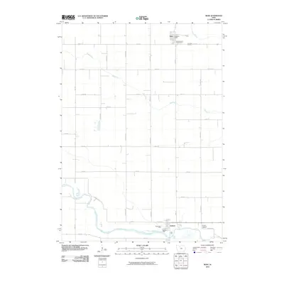
2010 Map of Bode
USGS Topo · Published 2010About this map
The Des Moines River winds through the southern landscape of this 2010 survey, providing a natural focal point for the settlement at Rutland. This river valley, along with the meandering course of Bloody Run, defines the hydrology of a region otherwise characterized by a strict grid of agricultural roads named for states and trees, such as Georgia Ave and Juniper Ave. In the north, the town of Bode sits near Trulner Creek, serving as a secondary hub of local activity.
Find a feature on this map
30 named features on this map. Tap any name to fly to it.
Don’t see what you’re looking for? This feature index may not catch every label — zoom into the map to look around manually.
Map Details
Editions of this 2010 Bode Map
This is the sole edition of this map. No revisions or reprints were ever made.
Other maps of this area

1923 · Fort Dodge
USGS Topo · 1:62,500

1954 · Fort Dodge
USGS Topo · 1:250,000

1957 · Fort Dodge
USGS Topo · 1:250,000

1958 · Fort Dodge
USGS Topo · 1:250,000

1972 · St. Joseph
USGS Topo · 1:24,000

1972 · Livermore
USGS Topo · 1:24,000

1979 · Humboldt
USGS Topo · 1:24,000

1979 · Unique
USGS Topo · 1:24,000

1979 · Gilmore City
USGS Topo · 1:24,000

1980 · West Bend
USGS Topo · 1:24,000