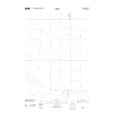
2013 Map of Bode
USGS Topo · Published 2013About this map
Bode and Rutland anchor this section of Humboldt County, illustrating the grid-based agricultural layout of north-central Iowa. The southern portion of the map is defined by the winding course of the Des Moines River, which creates a natural break in the otherwise rigid township and range road system. This survey shows how human engineering has shaped the local drainage, specifically through Ditch Number 7, which channels water toward the river. To the north, Bloody Run and Trulner Cr meander through open fields, while the town of Bode is laid out on a tight municipal grid featuring named thoroughfares like Humboldt Ave and Rossing Ave. The landscape is a clear example of the rural-industrial interface, where local infrastructure like Co Hwy-P23 supports the movement of goods between these small prairie settlements.
Find a feature on this map
36 named features on this map. Tap any name to fly to it.
Don’t see what you’re looking for? This feature index may not catch every label — zoom into the map to look around manually.
Map Details
Editions of this 2013 Bode Map
This is the sole edition of this map. No revisions or reprints were ever made.
Other maps of this area

1923 · Fort Dodge
USGS Topo · 1:62,500

1954 · Fort Dodge
USGS Topo · 1:250,000

1957 · Fort Dodge
USGS Topo · 1:250,000

1958 · Fort Dodge
USGS Topo · 1:250,000

1972 · St. Joseph
USGS Topo · 1:24,000

1972 · Livermore
USGS Topo · 1:24,000

1979 · Humboldt
USGS Topo · 1:24,000

1979 · Unique
USGS Topo · 1:24,000

1979 · Gilmore City
USGS Topo · 1:24,000

1980 · West Bend
USGS Topo · 1:24,000