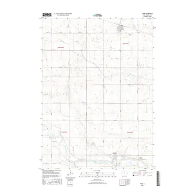
2015 Map of Bode
USGS Topo · Published 2015About this map
The town of Bode sits in the northern reaches of this Humboldt County landscape, defined by a rigid grid of agricultural roads like Georgia Ave and Co Hwy C18. This section of north-central Iowa shows a well-ordered rural landscape where small local cemeteries, such as Saint Olaf Cem and the Bode Memorial Park Cem, serve as primary genealogical anchors for the surrounding townships. In the south, the terrain shifts near the winding path of the Des Moines River, which cuts through the prairie landscape alongside the Rutland Marsh. Water management is evident through features like Ditch Number 7 and the seasonally fluctuating Bloody Run, illustrating the historical effort to drain and cultivate the rich soils of the Des Moines Lobe. Local infrastructure is further detailed by the intersection of county highways and the quiet residential streets of the village center.
Find a feature on this map
44 named features on this map. Tap any name to fly to it.
Don’t see what you’re looking for? This feature index may not catch every label — zoom into the map to look around manually.
Map Details
Editions of this 2015 Bode Map
This is the sole edition of this map. No revisions or reprints were ever made.
Other maps of this area

1923 · Fort Dodge
USGS Topo · 1:62,500

1954 · Fort Dodge
USGS Topo · 1:250,000

1957 · Fort Dodge
USGS Topo · 1:250,000

1958 · Fort Dodge
USGS Topo · 1:250,000

1972 · St. Joseph
USGS Topo · 1:24,000

1972 · Livermore
USGS Topo · 1:24,000

1979 · Humboldt
USGS Topo · 1:24,000

1979 · Unique
USGS Topo · 1:24,000

1979 · Gilmore City
USGS Topo · 1:24,000

1980 · West Bend
USGS Topo · 1:24,000