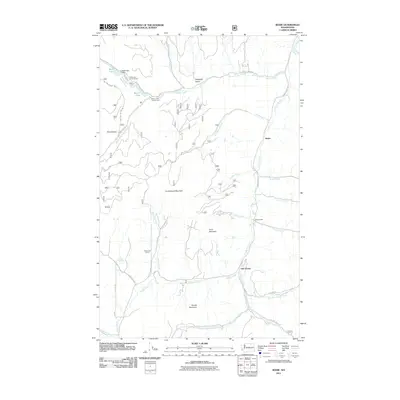
2011 Map of Bodie
USGS Topo · Published 2011About this map
Old Toroda and Bodie anchor this mountainous landscape in Okanogan County, where the topography is defined by high peaks and deep drainages. Toroda Creek winds through the southern portion of the quadrangle, joined by tributaries like Meadow Creek and Cougar Creek, while the north is dominated by the Beaver Creek system. Industrial and recreational footprints are evident at Atchison Mill and the Wauconda Quarry, alongside developed areas like the Beth Lake Campground and Beaver Lake Campground. The rugged nature of the terrain is highlighted by prominent features such as Cumberland Mountain, Irene Mountain, and the steep walls of Box Canyon. A network of Forest Service roads, including Nat For Dev Rd 030 and Pontiac Ridge Rd, provides access to these remote reaches, tracing the ridges and gulches that characterize this part of the Pacific Northwest.
Find a feature on this map
42 named features on this map. Tap any name to fly to it.
Don’t see what you’re looking for? This feature index may not catch every label — zoom into the map to look around manually.
Map Details
Editions of this 2011 Bodie Map
This is the sole edition of this map. No revisions or reprints were ever made.
Other maps of this area

1902 · Osoyoos
USGS Topo · 1:125,000

1904 · Osoyoos
USGS Topo · 1:125,000

1904 · Republic
USGS Topo · 1:125,000

1951 · Wauconda
USGS Topo · 1:62,500

1951 · Bodie Mountain
USGS Topo · 1:62,500

1954 · Okanogan
USGS Topo · 1:250,000

1957 · Mt. Bonaparte
USGS Topo · 1:62,500

1957 · Aeneas Valley
USGS Topo · 1:62,500

1958 · Okanogan
USGS Topo · 1:250,000

1958 · Aeneas
USGS Topo · 1:62,500