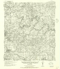
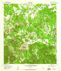
1957 Map of Boerne
USGS Topo · Published 1957About this map
Boerne stands as the central hub of this tactical survey, which reveals a landscape of family-run ranches and small rural school districts before the mid-century expansion of the Hill Country. The Guadalupe River and Cibolo Creek anchor the drainage system, where numerous family names—such as E Fischer, C Boerner, and Zoeller—mark specific homesteads and landholdings across the terrain. Local infrastructure is defined by the Southern Pacific Lines and the presence of specialized landmarks like Cascade Cavern and the Fair Grounds south of the town center.
Find a feature on this map
175 named features on this map. Tap any name to fly to it.
Don’t see what you’re looking for? This feature index may not catch every label — zoom into the map to look around manually.
Map Details
Editions of this 1957 Boerne Map
This is the sole edition of this map. No revisions or reprints were ever made.
Other maps of this area

1887 · Blanco
USGS Topo · 1:125,000
1894 · Fredericksburg
USGS Topo · 1:125,000

1894 · Blanco
USGS Topo · 1:125,000
1920 · Smithsons Valley
USGS Topo · 1:62,500
1927 · Smithson Valley
USGS Topo · 1:62,500
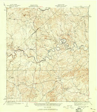
1929 · Smithson Valley
USGS Topo · 1:62,500
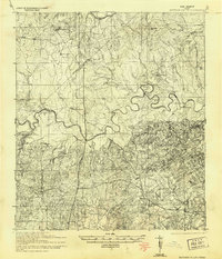
1940 · Smithson Valley
USGS Topo · 1:62,500
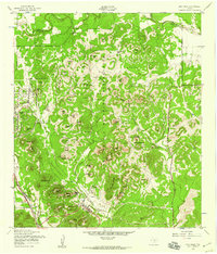
1953 · Otis Ridge
USGS Topo · 1:24,000
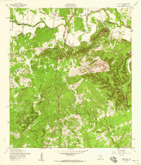
1953 · Bulverde
USGS Topo · 1:24,000
1953 · Van Raub
USGS Topo · 1:24,000