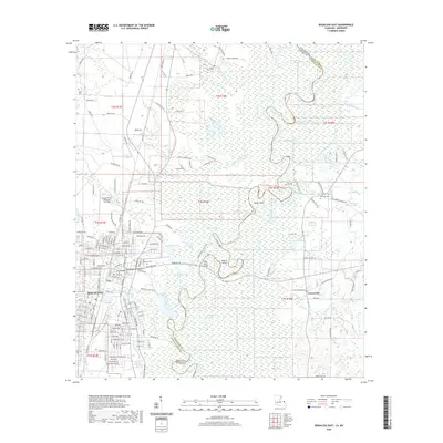
2020 Map of Bogalusa East
USGS Topo · Published 2020About this map
Bogalusa and the surrounding Pearl River bottomlands define this portion of the border between Louisiana and Mississippi. The landscape is characterized by an intricate network of waterways, including the Bogue Lusa Creek and numerous oxbow lakes such as Horseshoe Lake, Bateman Lake, and Old Jail Lake. The map reveals a mixture of urban development on the western edge, centered around the industrial and residential grid of the city, transitioning into a dense system of bayous and islands like Hamp Island and Peters Island. Genealogists will find several burial grounds including Ponemah Cem and Mount Olive Cem. Transportation is anchored by the George R Carr Memorial Air Field and the Pearl River Bridge, which connects the region across the swampy terrain of the state line.
Find a feature on this map
190 named features on this map. Tap any name to fly to it.
Don’t see what you’re looking for? This feature index may not catch every label — zoom into the map to look around manually.
Map Details
Editions of this 2020 Bogalusa East Map
This is the sole edition of this map. No revisions or reprints were ever made.
Other maps of this area

1942 · Rio
USGS Topo · 1:31,680

1942 · Pools Bluff
USGS Topo · 1:31,680

1949 · Bogalusa East
USGS Topo · 1:31,680

1949 · Angie
USGS Topo · 1:31,680

1949 · Bogalusa West
USGS Topo · 1:31,680

1950 · Crains Creek
USGS Topo · 1:31,680

1953 · Mobile
USGS Topo · 1:250,000

1957 · Mobile
USGS Topo · 1:250,000

1958 · Picayune
USGS Topo · 1:62,500

1959 · Bogalusa
USGS Topo · 1:62,500