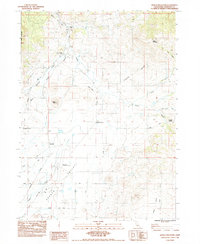
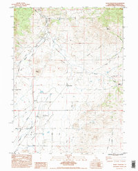
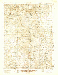
1984 Map of Bogus Mountain
USGS Topo · Published 1984About this map
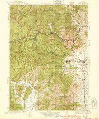
Shasta Valley dominates this 1980s landscape, where the Southern Pacific railroad runs parallel to the Ager Road through a region defined by scattered ranching settlements and rural educational centers. The map documents three distinct school sites—Willow Creek Sch, Snowden School, and Foothill School—serving the small communities of Ager, Snowden, and Coyote Corners. The terrain transitions from the relatively flat valley floor, where the Siskiyou County Airport is located, to the high elevations of Bogus Mountain and Black Mountain in the north and east. The hydrology is centered on the winding path of Willow Creek, supplemented by human-engineered features like the Kuck Ditch and several borrow pits, illustrating the local management of water resources in this part of Siskiyou County.
Find a feature on this map
31 named features on this map. Tap any name to fly to it.
Don’t see what you’re looking for? This feature index may not catch every label — zoom into the map to look around manually.
Map Details
Editions of this 1984 Bogus Mountain Map
2 editions found
Other maps of this area

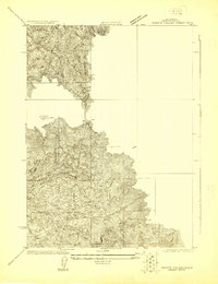
1886 · Shasta
USGS Topo · 1:250,000

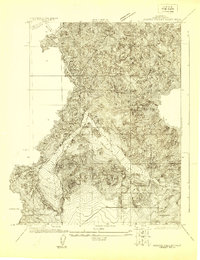
1894 · Shasta
USGS Topo · 1:250,000
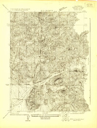
1922 · Shasta Valley Sheet No 12
USGS Topo · 1:24,000
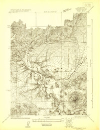
1922 · Shasta Valley Sheet No 4
USGS Topo · 1:24,000
1922 · Shasta Valley Sheet No 13
USGS Topo · 1:24,000
1922 · Shasta Valley Sheet No 14
USGS Topo · 1:24,000
1922 · Shasta Valley Sheet No 5
USGS Topo · 1:24,000

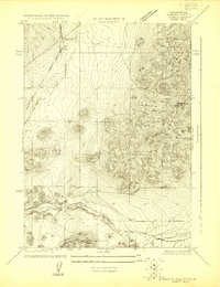
1932 · Yreka
USGS Topo · 1:96,000
1934 · Macdoel
USGS Topo · 1:96,000
1939 · Yreka
USGS Topo · 1:125,000