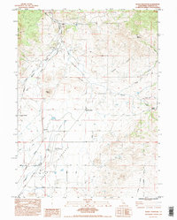
1984 Map of Bogus Mountain
USGS Topo · Published 1995About this map
Shasta Valley dominates the southwestern portion of this map, where the level terrain provides a base for the Siskiyou County Airport and the tracks of the Southern Pacific railroad. The line runs north through the small settlement of Ager, following the course of Willow Creek. This area illustrates a mid-century rural landscape where transport and local education were closely linked, as evidenced by several localized schoolhouses including Snowden School, Willow Creek Sch, and Foothill School located on the valley fringe.
Find a feature on this map
33 named features on this map. Tap any name to fly to it.
Don’t see what you’re looking for? This feature index may not catch every label — zoom into the map to look around manually.
Map Details
Editions of this 1984 Bogus Mountain Map
2 editions found
Other maps of this area

1886 · Shasta
USGS Topo · 1:250,000

1894 · Shasta
USGS Topo · 1:250,000

1922 · Shasta Valley Sheet No 12
USGS Topo · 1:24,000

1922 · Shasta Valley Sheet No 4
USGS Topo · 1:24,000

1922 · Shasta Valley Sheet No 13
USGS Topo · 1:24,000

1922 · Shasta Valley Sheet No 14
USGS Topo · 1:24,000

1922 · Shasta Valley Sheet No 5
USGS Topo · 1:24,000

1932 · Yreka
USGS Topo · 1:96,000

1934 · Macdoel
USGS Topo · 1:96,000

1939 · Yreka
USGS Topo · 1:125,000