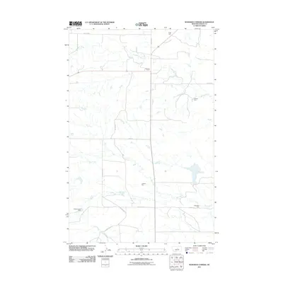
2011 Map of Bohemian Corners
USGS Topo · Published 2011About this map
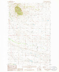
Bohemian Corners serves as the focal point for this expansive agricultural and ranching landscape in Fergus County. The terrain is defined by a network of drainage systems and small-scale water management features, including the colorfully named Helluva Dam and others like L Adams Dam and Kindle Number 2 Dam. These small reservoirs, along with the meandering courses of Box Elder Creek and Bear Creek, illustrate the critical importance of water conservation for livestock and homesteading in the high plains.
Find a feature on this map
16 named features on this map. Tap any name to fly to it.
Don’t see what you’re looking for? This feature index may not catch every label — zoom into the map to look around manually.
Map Details
Editions of this 2011 Bohemian Corners Map
This is the sole edition of this map. No revisions or reprints were ever made.
Other maps of this area

1954 · Lewistown
USGS Topo · 1:250,000

1959 · Lewistown
USGS Topo · 1:250,000

1985 · Griffee Coulee
USGS Topo · 1:24,000

1985 · Sloan Reservoir
USGS Topo · 1:24,000

1985 · Roy
USGS Topo · 1:24,000
1985 · Roy NW
USGS Topo · 1:24,000
1985 · Bear Creek Reservoir
USGS Topo · 1:24,000
1985 · Bohemian Corners
USGS Topo · 1:24,000
1986 · Grass Range NW
USGS Topo · 1:24,000

1986 · Teigen NW
USGS Topo · 1:24,000