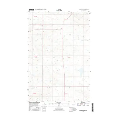
2017 Map of Bohemian Corners
USGS Topo · Published 2017About this map
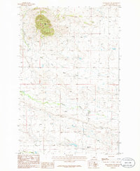
Bohemian Corners serves as the central focal point of this Fergus County landscape, situated at the junction of US Route 191 and Valentine Rd. The terrain is defined by a network of drainage systems, including the northern reach of Box Elder Cr and the more extensive Bear Cr to the south. Coal Hill rises as a prominent landmark in the northeast, overlooking the open plains. This 2017 survey reflects the persistent rural character of the region, where historical land divisions like Township 19 North Range 23 East remain fundamental to the local geography. A web of county routes, such as Buffalo Rd and Satterfield Rd, connect remote ranching interests and seasonal water sources in a sparsely populated section of central Montana.
Find a feature on this map
16 named features on this map. Tap any name to fly to it.
Don’t see what you’re looking for? This feature index may not catch every label — zoom into the map to look around manually.
Map Details
Editions of this 2017 Bohemian Corners Map
This is the sole edition of this map. No revisions or reprints were ever made.
Other maps of this area

1954 · Lewistown
USGS Topo · 1:250,000

1959 · Lewistown
USGS Topo · 1:250,000

1985 · Griffee Coulee
USGS Topo · 1:24,000

1985 · Sloan Reservoir
USGS Topo · 1:24,000

1985 · Roy
USGS Topo · 1:24,000
1985 · Roy NW
USGS Topo · 1:24,000
1985 · Bear Creek Reservoir
USGS Topo · 1:24,000
1985 · Bohemian Corners
USGS Topo · 1:24,000
1986 · Grass Range NW
USGS Topo · 1:24,000

1986 · Teigen NW
USGS Topo · 1:24,000