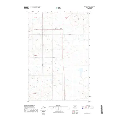
2020 Map of Bohemian Corners
USGS Topo · Published 2020About this map
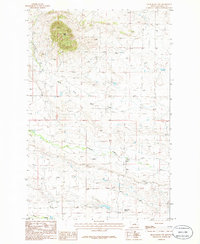
Bohemian Corners sits at a remote crossroads in the central Montana plains of Fergus County, where a sparse network of county roads like Buffalo Rd and Valentine Rd provides the primary structure for this agricultural landscape. The terrain is characterized by the drainage basins of Box Elder Cr to the north and Bear Cr to the south, separated by subtle rises such as Coal Hill. This 2020 edition reveals the persistence of the Public Land Survey System as the defining organizational element of the region, with township lines like t19n r23e and t18n r22e dictating property boundaries and road alignments. Local travel is marked by named routes including Davis Rd, Satterfield Rd, and Tullock Ln, which connect isolated homesteads and ranching operations across the high prairie.
Find a feature on this map
15 named features on this map. Tap any name to fly to it.
Don’t see what you’re looking for? This feature index may not catch every label — zoom into the map to look around manually.
Map Details
Editions of this 2020 Bohemian Corners Map
This is the sole edition of this map. No revisions or reprints were ever made.
Other maps of this area

1954 · Lewistown
USGS Topo · 1:250,000

1959 · Lewistown
USGS Topo · 1:250,000

1985 · Griffee Coulee
USGS Topo · 1:24,000

1985 · Sloan Reservoir
USGS Topo · 1:24,000

1985 · Roy
USGS Topo · 1:24,000
1985 · Roy NW
USGS Topo · 1:24,000
1985 · Bear Creek Reservoir
USGS Topo · 1:24,000
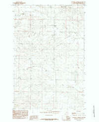
1985 · Bohemian Corners
USGS Topo · 1:24,000
1986 · Grass Range NW
USGS Topo · 1:24,000

1986 · Teigen NW
USGS Topo · 1:24,000