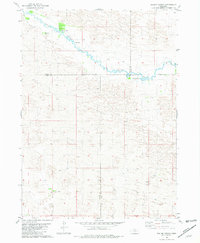
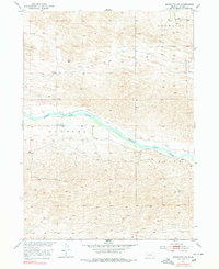
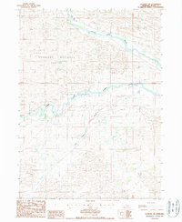
1981 Map of Boiling Spring
USGS Topo · Published 1981This historical map portrays the area of Boiling Spring in 1981, primarily covering Blaine County as well as portions of Rock County, Loup County, and Brown County. Featuring a scale of 1:24000, this map provides a highly detailed snapshot of the terrain, roads, buildings, counties, and historical landmarks in the Boiling Spring region at the time. Published in 1981, it is the sole known edition of this map.
Map Details
Editions of this 1981 Boiling Spring Map
This is the sole edition of this map. No revisions or reprints were ever made.
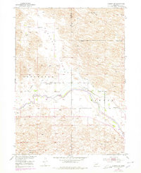
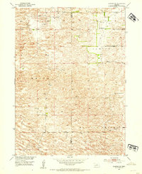
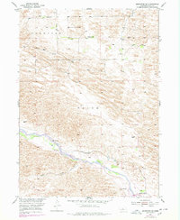
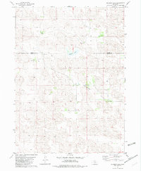
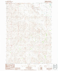
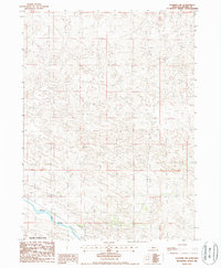
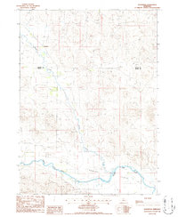
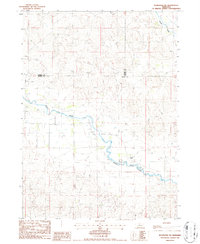
Historical Maps of Blaine County Through Time
13 maps found
1952 Almeria NW
Blaine County, NE
1952 Almeria SW
Blaine County, NE

1952 Brewster NW
Blaine County, NE
1952 Brewster SE
Blaine County, NE
1952 Brewster SW
Blaine County, NE
1981 Boiling Spring
Blaine County, NE
1982 Goldman Lake
Blaine County, NE

1982 Goldman Lake SE
Blaine County, NE
1986 Dunning NE
Blaine County, NE
1986 Dunning NW
Blaine County, NE
1986 Dunning SW
Blaine County, NE
1986 Koshopah
Blaine County, NE
1986 Koshopah SW
Blaine County, NE