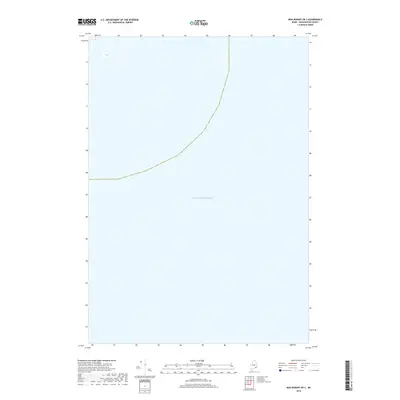
2018 Map of Bois Bubert OE S
USGS Topo · Published 2018About this map
Atlantic Ocean waters dominate this coastal expanse off the shore of Washington County, Maine. As a maritime extension of the coastline near Milbridge, the map depicts the open sea south of the inner islands and bays. This 2018 survey serves as a reference for the navigational waters and bathymetric context of the Gulf of Maine, illustrating the vast aquatic territory that has historically supported the region's fishing and maritime industries. While primarily showing the sea, it provides the essential offshore context for the neighboring coastal quadrangles of the Maine wilderness.
Find a feature on this map
1 named feature on this map. Tap any name to fly to it.
Don’t see what you’re looking for? This feature index may not catch every label — zoom into the map to look around manually.
Map Details
Editions of this 2018 Bois Bubert OE S Map
This is the sole edition of this map. No revisions or reprints were ever made.
Other maps of this area

1904 · Petit Manan
USGS Topo · 1:62,500

1921 · Great Wass Island
USGS Topo · 1:62,500

1948 · Drisko Island
USGS Topo · 1:24,000
1948 · Petit Manan
USGS Topo · 1:24,000
1950 · Drisko Island
USGS Topo · 1:24,000
1950 · Petit Manan
USGS Topo · 1:24,000
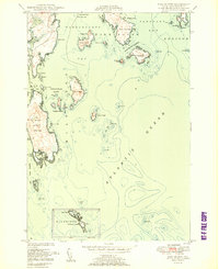
1950 · Bois Bubert
USGS Topo · 1:24,000
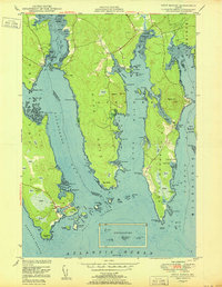
1950 · Petit Manan
USGS Topo · 1:24,000
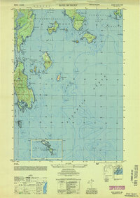
1953 · Bois Bubert
USGS Topo · 1:25,000

1961 · Eastport
USGS Topo · 1:250,000