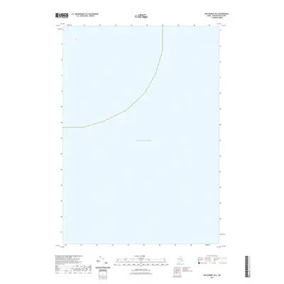
2021 Map of Bois Bubert OE S
USGS Topo · Published 2021About this map
Atlantic Ocean waters dominate this coastal survey south of the Maine shoreline in Washington County. Produced by the U.S. Geological Survey in 2021, the sheet serves primarily as a hydrographic and maritime record of the open sea off the coast of Milbridge. The map contains very little terrestrial detail, focusing instead on the expanse of the Atlantic Ocean and the maritime boundaries that define this portion of the Gulf of Maine. It represents a specific moment in modern cartographic history where digital imagery from the Naip and data from the National Hydrography Dataset were synthesized to document the offshore environment.
Find a feature on this map
1 named feature on this map. Tap any name to fly to it.
Don’t see what you’re looking for? This feature index may not catch every label — zoom into the map to look around manually.
Map Details
Editions of this 2021 Bois Bubert OE S Map
This is the sole edition of this map. No revisions or reprints were ever made.
Other maps of this area

1904 · Petit Manan
USGS Topo · 1:62,500

1921 · Great Wass Island
USGS Topo · 1:62,500

1948 · Drisko Island
USGS Topo · 1:24,000
1948 · Petit Manan
USGS Topo · 1:24,000
1950 · Drisko Island
USGS Topo · 1:24,000
1950 · Petit Manan
USGS Topo · 1:24,000
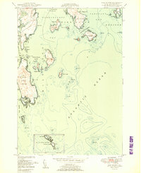
1950 · Bois Bubert
USGS Topo · 1:24,000
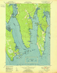
1950 · Petit Manan
USGS Topo · 1:24,000
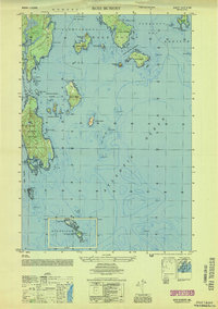
1953 · Bois Bubert
USGS Topo · 1:25,000

1961 · Eastport
USGS Topo · 1:250,000