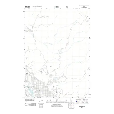
2011 Map of Boise North
USGS Topo · Published 2011About this map
Collister and the Highlands neighborhood define the residential fringe of the state capital in the early 2010s, where urban development meets the steep drainages of the Boise Foothills. The map documents a complex hydrological landscape, notably the irrigation network featuring the Boise City Canal, Boise Valley Canal, and Farmers Union Canal. These systems, along with the Crane Creek Flume, illustrate how water has been managed to support both historical agriculture and modern suburban growth.
Find a feature on this map
37 named features on this map. Tap any name to fly to it.
Don’t see what you’re looking for? This feature index may not catch every label — zoom into the map to look around manually.
Map Details
Editions of this 2011 Boise North Map
This is the sole edition of this map. No revisions or reprints were ever made.
Other maps of this area

1892 · Boise
USGS Topo · 1:125,000

1897 · Boise
USGS Topo · 1:125,000

1949 · Robie Creek
USGS Topo · 1:24,000

1953 · Eagle
USGS Topo · 1:24,000

1953 · Cloverdale
USGS Topo · 1:24,000

1953 · Montour
USGS Topo · 1:62,500

1954 · Boise South
USGS Topo · 1:24,000

1954 · Boise North
USGS Topo · 1:24,000

1954 · Boise
USGS Topo · 1:62,500

1955 · Boise
USGS Topo · 1:250,000