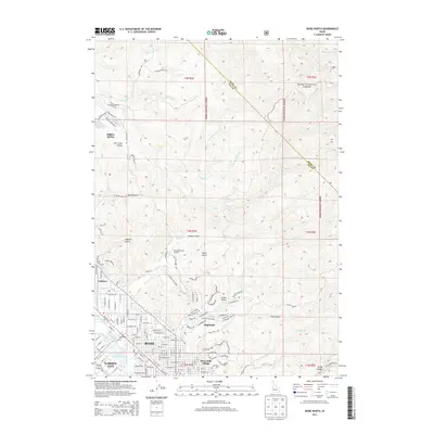
2013 Map of Boise North
USGS Topo · Published 2013About this map
Boise National Forest dominates the rugged northern landscape of this region, where deep drainages like Pierce Gulch and Polecat Gulch carve through the foothills toward the urban center. The expansion of residential neighborhoods into the higher elevations is evident in the layout of Highlands and Boise Hills Village, contrasted by the established grid of Boise and Garden City to the south. This transition from wild forest land to developed hillsides illustrates the tension between natural topography and 21st-century suburban growth.
Find a feature on this map
139 named features on this map. Tap any name to fly to it.
Don’t see what you’re looking for? This feature index may not catch every label — zoom into the map to look around manually.
Map Details
Editions of this 2013 Boise North Map
This is the sole edition of this map. No revisions or reprints were ever made.
Other maps of this area

1892 · Boise
USGS Topo · 1:125,000

1897 · Boise
USGS Topo · 1:125,000

1949 · Robie Creek
USGS Topo · 1:24,000

1953 · Eagle
USGS Topo · 1:24,000

1953 · Cloverdale
USGS Topo · 1:24,000

1953 · Montour
USGS Topo · 1:62,500

1954 · Boise South
USGS Topo · 1:24,000

1954 · Boise North
USGS Topo · 1:24,000

1954 · Boise
USGS Topo · 1:62,500

1955 · Boise
USGS Topo · 1:250,000