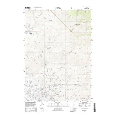
2017 Map of Boise North
USGS Topo · Published 2017About this map
Boise and its northern foothills are documented here as urban development pushes into the canyons and draws of the Boise National Forest boundary. The landscape transitions from the dense street grids of the Highlands and Boise Hills Village to the master-planned character of Hidden Springs, reflecting the city’s contemporary expansion. In the lowlands, the historic water management system is visible via the Farmers Union Canal and Boise City Canal, while the Boise River and Boise Cascade Lake anchor the southern edge of the sheet.
Find a feature on this map
139 named features on this map. Tap any name to fly to it.
Don’t see what you’re looking for? This feature index may not catch every label — zoom into the map to look around manually.
Map Details
Editions of this 2017 Boise North Map
This is the sole edition of this map. No revisions or reprints were ever made.
Other maps of this area

1892 · Boise
USGS Topo · 1:125,000

1897 · Boise
USGS Topo · 1:125,000

1949 · Robie Creek
USGS Topo · 1:24,000

1953 · Eagle
USGS Topo · 1:24,000

1953 · Cloverdale
USGS Topo · 1:24,000

1953 · Montour
USGS Topo · 1:62,500

1954 · Boise South
USGS Topo · 1:24,000

1954 · Boise North
USGS Topo · 1:24,000

1954 · Boise
USGS Topo · 1:62,500

1955 · Boise
USGS Topo · 1:250,000