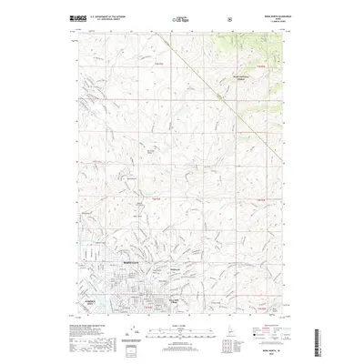
2020 Map of Boise North
USGS Topo · Published 2020About this map
Boise City and Garden City anchor the southwestern corner of this Idaho study, where the urban grid gives way to a complex network of foothills and canyons. The transition from valley to mountain is marked by the intricate irrigation systems of the Farmers Union Canal and Boise City Canal, which reflect the region's historical reliance on water engineering. Moving northward, the landscape rises into the Boise National Forest, characterized by prominent landmarks like Stack Rock and the high elevations of Bogus Basin.
Find a feature on this map
213 named features on this map. Tap any name to fly to it.
Don’t see what you’re looking for? This feature index may not catch every label — zoom into the map to look around manually.
Map Details
Editions of this 2020 Boise North Map
This is the sole edition of this map. No revisions or reprints were ever made.
Other maps of this area

1892 · Boise
USGS Topo · 1:125,000

1897 · Boise
USGS Topo · 1:125,000

1949 · Robie Creek
USGS Topo · 1:24,000

1953 · Eagle
USGS Topo · 1:24,000

1953 · Cloverdale
USGS Topo · 1:24,000

1953 · Montour
USGS Topo · 1:62,500

1954 · Boise South
USGS Topo · 1:24,000

1954 · Boise North
USGS Topo · 1:24,000

1954 · Boise
USGS Topo · 1:62,500

1955 · Boise
USGS Topo · 1:250,000