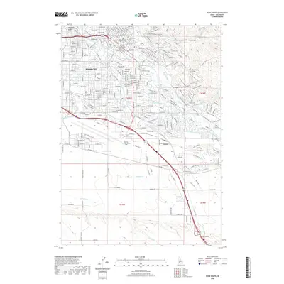
2020 Map of Boise South
USGS Topo · Published 2020About this map
Boise City serves as the dense urban core of this Idaho survey, where the seat of government is represented by the Idaho Supreme Court and Ada County Courthouse. The city's geography is defined by its relationship to the Boise River, which is flanked by the Boise River Greenbelt and Julia Davis Park. High-density institutional development is evident through Boise State University and specialized legal centers like the University of Idaho College of Law Boise.
Find a feature on this map
324 named features on this map. Tap any name to fly to it.
Don’t see what you’re looking for? This feature index may not catch every label — zoom into the map to look around manually.
Map Details
Editions of this 2020 Boise South Map
This is the sole edition of this map. No revisions or reprints were ever made.
Other maps of this area

1892 · Boise
USGS Topo · 1:125,000

1892 · Bisuka
USGS Topo · 1:125,000

1894 · Bisuka
USGS Topo · 1:125,000

1897 · Boise
USGS Topo · 1:125,000

1949 · Robie Creek
USGS Topo · 1:24,000

1953 · Eagle
USGS Topo · 1:24,000

1953 · Cloverdale
USGS Topo · 1:24,000

1954 · Boise South
USGS Topo · 1:24,000

1954 · Boise North
USGS Topo · 1:24,000

1954 · Boise
USGS Topo · 1:62,500