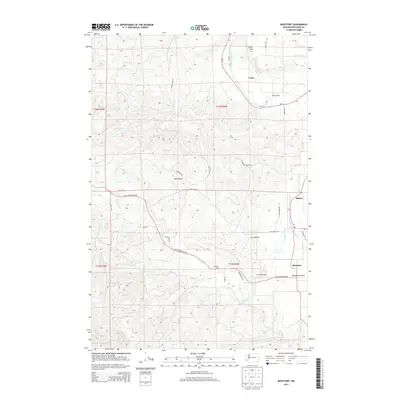
2013 Map of Boistfort
USGS Topo · Published 2013About this map
Boistfort and the surrounding Boistfort Prairie define the southern landscape of this quadrangle, where the South Fork Chehalis River winds through a valley of agricultural and timber operations. The geography is marked by a network of drainage systems, including Stillman Creek, Lost Cr, and Halfway Cr, which cut through the undulating terrain of the t13n r4w and t12n r4w townships. Settlement is concentrated along the river corridors and historical road alignments like Pe Ell McDonald Rd, connecting small communities such as Klaber and Ceres.
Find a feature on this map
45 named features on this map. Tap any name to fly to it.
Don’t see what you’re looking for? This feature index may not catch every label — zoom into the map to look around manually.
Map Details
Editions of this 2013 Boistfort Map
This is the sole edition of this map. No revisions or reprints were ever made.
Other maps of this area
1941 · Walville
USGS Topo · 1:62,500
1941 · Meskill
USGS Topo · 1:62,500
1941 · Skamokawa
USGS Topo · 1:62,500

1953 · Hoquiam
USGS Topo · 1:250,000
1953 · Ryderwood
USGS Topo · 1:62,500
1953 · Skamokawa
USGS Topo · 1:62,500
1953 · Pe Ell
USGS Topo · 1:62,500
1953 · Adna
USGS Topo · 1:62,500
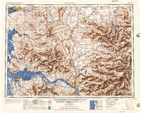
1957 · Hoquiam
USGS Topo · 1:250,000
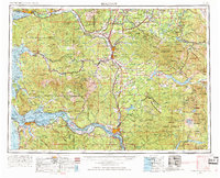
1958 · Hoquiam
USGS Topo · 1:250,000