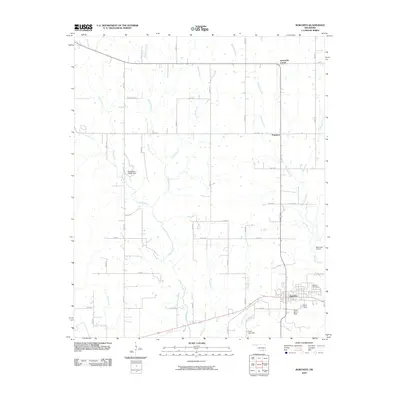
2010 Map of Bokchito
USGS Topo · Published 2010About this map
Bokchito serves as the primary hub of this Bryan County landscape, where the grid of rural section roads meets the winding paths of several regional waterways. The town's layout is well-defined, including the Bokchito Cemetery on its eastern edge and Frank Ranch Field to the south. The surrounding terrain is heavily defined by drainage systems, including the southward-flowing Bokchito Creek, Caddo Creek, and Chaney Creek.
Find a feature on this map
43 named features on this map. Tap any name to fly to it.
Don’t see what you’re looking for? This feature index may not catch every label — zoom into the map to look around manually.
Map Details
Editions of this 2010 Bokchito Map
This is the sole edition of this map. No revisions or reprints were ever made.
Other maps of this area

1899 · Atoka
USGS Topo · 1:125,000

1900 · Atoka
USGS Topo · 1:125,000

1954 · Sherman
USGS Topo · 1:250,000

1957 · Wade
USGS Topo · 1:62,500

1957 · Ardmore
USGS Topo · 1:250,000

1958 · Durant
USGS Topo · 1:62,500

1958 · Sherman
USGS Topo · 1:250,000

1963 · Ardmore
USGS Topo · 1:250,000

1969 · Caddo North
USGS Topo · 1:24,000

1969 · Bokchito
USGS Topo · 1:24,000