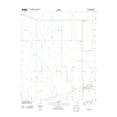
2012 Map of Bokchito
USGS Topo · Published 2012About this map
Bokchito serves as the primary hub in this portion of Bryan County, where the street grid organizes around intersections like Norman St and S Terry St. The landscape is defined by a dense network of watercourses, including the Blue River and the winding Caddo Cr, which drain the prairie lands of southern Oklahoma. Small rural clusters like Pritchard and the descriptively named Sevenmile Corner punctuate the agricultural landscape, connected by a web of section-line roads and specialized routes like Armstrong Academy Rd.
Find a feature on this map
47 named features on this map. Tap any name to fly to it.
Don’t see what you’re looking for? This feature index may not catch every label — zoom into the map to look around manually.
Map Details
Editions of this 2012 Bokchito Map
This is the sole edition of this map. No revisions or reprints were ever made.
Other maps of this area

1899 · Atoka
USGS Topo · 1:125,000

1900 · Atoka
USGS Topo · 1:125,000

1954 · Sherman
USGS Topo · 1:250,000

1957 · Wade
USGS Topo · 1:62,500

1957 · Ardmore
USGS Topo · 1:250,000

1958 · Durant
USGS Topo · 1:62,500

1958 · Sherman
USGS Topo · 1:250,000

1963 · Ardmore
USGS Topo · 1:250,000

1969 · Caddo North
USGS Topo · 1:24,000

1969 · Bokchito
USGS Topo · 1:24,000