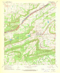
1968 Map of Bokoshe
USGS Topo · Published 1969About this map
Bokoshe serves as the focal point of this late 1960s survey, situated at the base of Bokoshe Mountain in a landscape heavily defined by the coal industry. The map illustrates a transitional economy where resource extraction and transportation intersect, evidenced by the extensive Strip Mines cutting across the terrain and the presence of several shale pits and a quarry. Rail infrastructure is prominent, with the Texas and Pacific and Fort Smith and Van Buren lines traversing the region to move minerals and goods.
Find a feature on this map
33 named features on this map. Tap any name to fly to it.
Don’t see what you’re looking for? This feature index may not catch every label — zoom into the map to look around manually.
Map Details
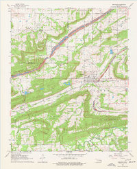
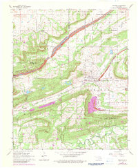
Editions of this 1968 Bokoshe Map
3 editions found
Other maps of this area

1900 · Sallisaw
USGS Topo · 1:125,000

1911 · Sallisaw
USGS Topo · 1:125,000

1946 · Fort Smith
USGS Topo · 1:250,000

1965 · Fort Smith
USGS Topo · 1:250,000

1966 · Muldrow SW
USGS Topo · 1:24,000

1967 · Fort Smith
USGS Topo · 1:250,000
1967 · Keota
USGS Topo · 1:24,000

1967 · Robert S Kerr Dam
USGS Topo · 1:24,000
1968 · Panama
USGS Topo · 1:24,000
1968 · Poteau West
USGS Topo · 1:24,000