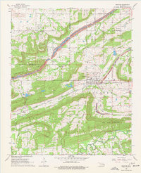
1968 Map of Bokoshe
USGS Topo · Published 1977About this map
The Sans Bois Mountains and Bokoshe Mountain dominate the topography of this Le Flore County region, where the economy was transitioning between coal extraction and natural gas production in the late 1960s. The settlement of Bokoshe serves as the local hub, supported by the Texas and Pacific railroad and a landscape marked by industrial activity, including several Strip Mines, Shale Pits, and a Quarry at Bald Knob. Along the southern edge, the map records the rural communities of Milton and the scattered homes around Brazil Creek. Genealogists will find numerous family and community sites, from the centrally located Bokoshe Cem and Bokoshe Ch to more remote locations like Brazil Cem and Powell Cem. Numerous creeks, including Coal Creek and Buck Creek, weave through the narrow valleys, defining the historic settlement patterns of the Oklahoma coal belt.
Find a feature on this map
35 named features on this map. Tap any name to fly to it.
Don’t see what you’re looking for? This feature index may not catch every label — zoom into the map to look around manually.
Map Details
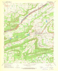
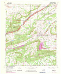
Editions of this 1968 Bokoshe Map
3 editions found
Other maps of this area

1900 · Sallisaw
USGS Topo · 1:125,000

1911 · Sallisaw
USGS Topo · 1:125,000

1946 · Fort Smith
USGS Topo · 1:250,000

1965 · Fort Smith
USGS Topo · 1:250,000

1966 · Muldrow SW
USGS Topo · 1:24,000

1967 · Fort Smith
USGS Topo · 1:250,000
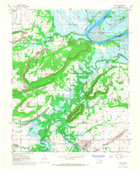
1967 · Keota
USGS Topo · 1:24,000

1967 · Robert S Kerr Dam
USGS Topo · 1:24,000
1968 · Panama
USGS Topo · 1:24,000
1968 · Poteau West
USGS Topo · 1:24,000