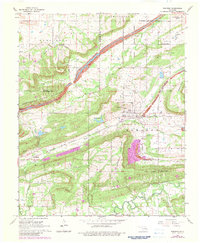
1968 Map of Bokoshe
USGS Topo · Published 1983About this map
Bokoshe serves as the central hub of this eastern Oklahoma landscape, where the coal industry profoundly shaped the terrain during the mid-20th century. The map reveals extensive Strip Mine operations and designated Reclaimed Area zones that dominate the topography between the town and Bokoshe Mountain. Transport for this mineral wealth is provided by the Missouri Pacific railroad, which runs through the heart of the district near Coal Creek.
Find a feature on this map
30 named features on this map. Tap any name to fly to it.
Don’t see what you’re looking for? This feature index may not catch every label — zoom into the map to look around manually.
Map Details
Editions of this 1968 Bokoshe Map
3 editions found
Other maps of this area

1900 · Sallisaw
USGS Topo · 1:125,000

1911 · Sallisaw
USGS Topo · 1:125,000

1946 · Fort Smith
USGS Topo · 1:250,000

1965 · Fort Smith
USGS Topo · 1:250,000

1966 · Muldrow SW
USGS Topo · 1:24,000

1967 · Fort Smith
USGS Topo · 1:250,000
1967 · Keota
USGS Topo · 1:24,000

1967 · Robert S Kerr Dam
USGS Topo · 1:24,000
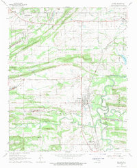
1968 · Panama
USGS Topo · 1:24,000
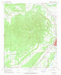
1968 · Poteau West
USGS Topo · 1:24,000