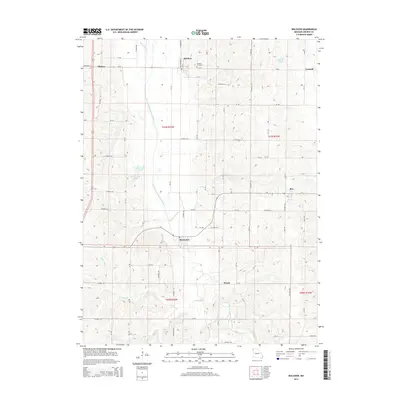
2014 Map of Bolckow
USGS Topo · Published 2014About this map
The One Hundred and Two River defines the central valley of this northern Andrew County landscape, winding south past several small Missouri settlements. In the north, the town of Bolckow sits near the Bolckow Cemetery and is flanked by water bodies such as White Cloud Cr and Lake La Verne. The river valley continues south toward Rosendale, passing a series of smaller drainages including Lower Neely Br, Kellog Br, and Riggin Br. This agricultural region is stitched together by a dense grid of rural routes like Mo-B and Mo-Y, connecting the hilltop communities of Rea, Wyeth, and Midway. Along the river banks, the presence of Sybert Lake Upper and Sybert Lake Lower suggests the remnant oxbows and shifting hydrology characteristic of this fertile floodplain during the early 21st century.
Find a feature on this map
82 named features on this map. Tap any name to fly to it.
Don’t see what you’re looking for? This feature index may not catch every label — zoom into the map to look around manually.
Map Details
Editions of this 2014 Bolckow Map
This is the sole edition of this map. No revisions or reprints were ever made.
Other maps of this area

1923 · Clarksdale
USGS Topo · 1:62,500

1924 · St. Joseph
USGS Topo · 1:62,500

1925 · Clarksdale
USGS Topo · 1:62,500

1925 · Stanberry
USGS Topo · 1:62,500

1926 · Saint Joseph
USGS Topo · 1:62,500

1927 · Bolckow
USGS Topo · 1:62,500

1939 · Stanberry
USGS Topo · 1:62,500

1943 · Stanberry
USGS Topo · 1:62,500

1945 · Bolckow
USGS Topo · 1:62,500

1950 · Kansas City
USGS Topo · 1:250,000