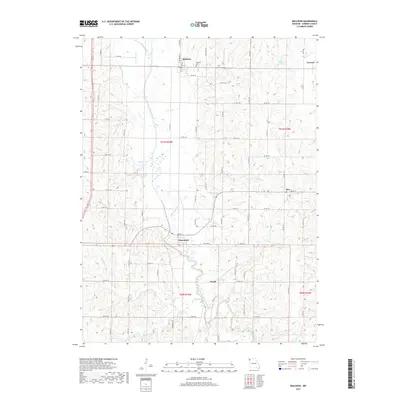
2017 Map of Bolckow
USGS Topo · Published 2017About this map
Bolckow and Rosendale anchor this Andrew County landscape, where the meandering course of the One Hundred and Two River dictates the local topography. This agricultural corridor in northwestern Missouri is defined by its small crossroads settlements and the intricate drainage network of the White Cloud Cr and Lower Neely Br. The town of Bolckow is clearly delineated with its street grid including Richardson St and Ann St, situated just north of the Bolckow Cem.
Find a feature on this map
79 named features on this map. Tap any name to fly to it.
Don’t see what you’re looking for? This feature index may not catch every label — zoom into the map to look around manually.
Map Details
Editions of this 2017 Bolckow Map
This is the sole edition of this map. No revisions or reprints were ever made.
Other maps of this area

1923 · Clarksdale
USGS Topo · 1:62,500

1924 · St. Joseph
USGS Topo · 1:62,500

1925 · Clarksdale
USGS Topo · 1:62,500

1925 · Stanberry
USGS Topo · 1:62,500

1926 · Saint Joseph
USGS Topo · 1:62,500

1927 · Bolckow
USGS Topo · 1:62,500

1939 · Stanberry
USGS Topo · 1:62,500

1943 · Stanberry
USGS Topo · 1:62,500

1945 · Bolckow
USGS Topo · 1:62,500

1950 · Kansas City
USGS Topo · 1:250,000