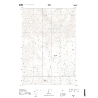
2020 Map of Boles
USGS Topo · Published 2020About this map
The Salmon River carves a deep path through northern Idaho County in this 2020 topographic record, defining a landscape of dramatic elevation changes and remote settlements. High above the river corridor, the Joseph Plains stretch across the central portion of the map, reached by winding routes like Flynn Creek Rd and Divide Creek Rd. This area is characterized by a complex network of drainages including Mahoney Creek, Cottonwood Creek, and Wolf Creek, which flow through steep gulches and canyons toward the river below.
Find a feature on this map
30 named features on this map. Tap any name to fly to it.
Don’t see what you’re looking for? This feature index may not catch every label — zoom into the map to look around manually.
Map Details
Editions of this 2020 Boles Map
This is the sole edition of this map. No revisions or reprints were ever made.
Other maps of this area

1924 · Kamiah
USGS Topo · 1:125,000

1955 · Pullman
USGS Topo · 1:250,000

1955 · Grangeville
USGS Topo · 1:250,000

1958 · Pullman
USGS Topo · 1:250,000

1959 · Grangeville
USGS Topo · 1:250,000

1963 · Cactus Mtn
USGS Topo · 1:24,000

1963 · Boles
USGS Topo · 1:24,000

1963 · Rattlesnake Ridge
USGS Topo · 1:24,000

1963 · Moughmer Point
USGS Topo · 1:24,000

1963 · Joseph
USGS Topo · 1:24,000