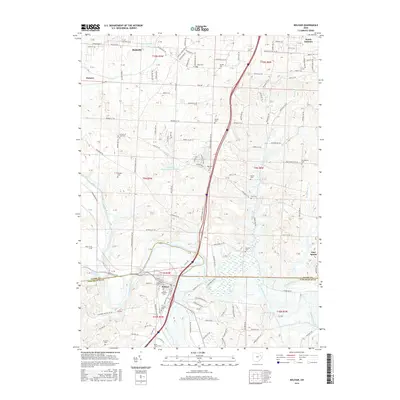
2016 Map of Bolivar
USGS Topo · Published 2016About this map
Fort Laurens, the site of Ohio's only Revolutionary War fort, serves as a significant historical anchor near the southern bend of the Tuscarawas River. This area shows a dense concentration of lineage-rich sites, with numerous small burial grounds such as Zion Cem, Henline Cem, and Shepler Cem scattered across the township lines of Stark and Tuscarawas counties. The village of Bolivar sits at the nexus of the river and Sandy Creek, illustrating a landscape shaped by water-driven settlement patterns that persist into the 21st century.
Find a feature on this map
124 named features on this map. Tap any name to fly to it.
Don’t see what you’re looking for? This feature index may not catch every label — zoom into the map to look around manually.
Map Details
Editions of this 2016 Bolivar Map
This is the sole edition of this map. No revisions or reprints were ever made.
Other maps of this area

1901 · Massillon
USGS Topo · 1:62,500

1901 · Canton
USGS Topo · 1:62,500

1903 · Massillon
USGS Topo · 1:62,500

1903 · Canton
USGS Topo · 1:62,500

1912 · Dover
USGS Topo · 1:62,500

1914 · Navarre
USGS Topo · 1:62,500

1944 · Navarre
USGS Topo · 1:62,500

1944 · Dover
USGS Topo · 1:62,500

1951 · Canton
USGS Topo · 1:250,000

1951 · Bolivar
USGS Topo · 1:24,000