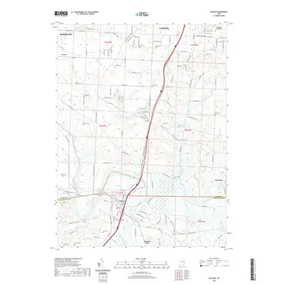
2019 Map of Bolivar
USGS Topo · Published 2019About this map
The Tuscarawas River carves a path through this landscape, marking a vital water corridor between the settlements of Bolivar and Navarre. This 2019 survey documents a region defined by its numerous burial grounds and family-named landmarks, such as Fort Laurens Cem and Saint Stephens Cem, which provide significant touchpoints for genealogical research. The northern extent includes the outskirts of Canton and Massillon, while smaller communities like Wilkshire Hills and East Sparta anchor the southern and eastern edges.
Find a feature on this map
97 named features on this map. Tap any name to fly to it.
Don’t see what you’re looking for? This feature index may not catch every label — zoom into the map to look around manually.
Map Details
Editions of this 2019 Bolivar Map
This is the sole edition of this map. No revisions or reprints were ever made.
Other maps of this area

1901 · Massillon
USGS Topo · 1:62,500

1901 · Canton
USGS Topo · 1:62,500

1903 · Massillon
USGS Topo · 1:62,500

1903 · Canton
USGS Topo · 1:62,500

1912 · Dover
USGS Topo · 1:62,500

1914 · Navarre
USGS Topo · 1:62,500

1944 · Navarre
USGS Topo · 1:62,500

1944 · Dover
USGS Topo · 1:62,500

1951 · Canton
USGS Topo · 1:250,000

1951 · Bolivar
USGS Topo · 1:24,000