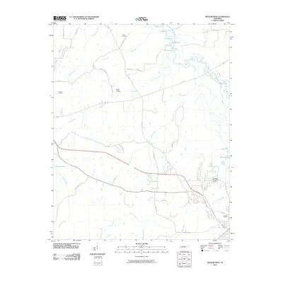
2010 Map of Bolivar West
USGS Topo · Published 2010About this map
The Hatchie River meanders through the northern portion of this Hardeman County landscape, creating a complex wetland ecosystem defined by features like Turkey Pond, Clover Lakes, and Round Pond. This 2010 survey illustrates the transition from these river bottoms to the more developed corridors along Hwy 64 and New US Hwy 64 in the south. For local historians and genealogists, the map identifies several significant burial sites, including Parker Cemetery in the north and Bartlett Chapel Cemetery situated off Bartlett Rd. The southern landscape is marked by the Hardeman County Golf Course and the waters of Whiteville Lake, while numerous small tributaries like Short Creek and Potters Creek drain the surrounding hills into the river valley.
Find a feature on this map
47 named features on this map. Tap any name to fly to it.
Don’t see what you’re looking for? This feature index may not catch every label — zoom into the map to look around manually.
Map Details
Editions of this 2010 Bolivar West Map
This is the sole edition of this map. No revisions or reprints were ever made.
Other maps of this area

1950 · Hebron
USGS Topo · 1:24,000

1950 · Middleburg
USGS Topo · 1:24,000

1951 · Middleburg
USGS Topo · 1:24,000

1951 · Hebron
USGS Topo · 1:24,000

1951 · Hickory Valley
USGS Topo · 1:24,000

1956 · Blytheville
USGS Topo · 1:250,000

1959 · Blytheville
USGS Topo · 1:250,000

1959 · Whiteville
USGS Topo · 1:24,000

1959 · Hillville
USGS Topo · 1:24,000

1961 · Bolivar West
USGS Topo · 1:24,000