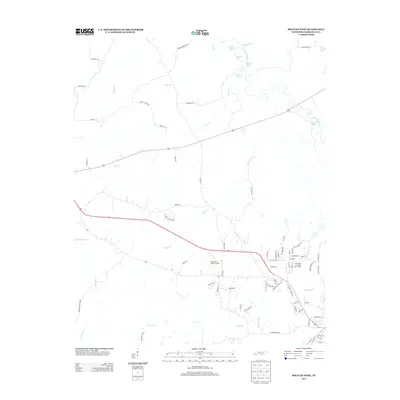
2013 Map of Bolivar West
USGS Topo · Published 2013About this map
The Hatchie River meanders through the northeastern corner of this Hardeman County landscape, creating a wetland ecosystem defined by features like Turkey Pond, Clover Lakes, and Round Pond. This 2013 survey illustrates the western approaches to the town, where the rural character is shaped by numerous small tributaries such as Clear Cr, Short Cr, and Potters Cr. The area is interlaced with local routes including Vildo Rd and Cloverport Rd, providing access to the low-lying bottomlands and local landmarks like the Hardeman County Landfill.
Find a feature on this map
76 named features on this map. Tap any name to fly to it.
Don’t see what you’re looking for? This feature index may not catch every label — zoom into the map to look around manually.
Map Details
Editions of this 2013 Bolivar West Map
This is the sole edition of this map. No revisions or reprints were ever made.
Other maps of this area

1950 · Hebron
USGS Topo · 1:24,000

1950 · Middleburg
USGS Topo · 1:24,000

1951 · Middleburg
USGS Topo · 1:24,000

1951 · Hebron
USGS Topo · 1:24,000

1951 · Hickory Valley
USGS Topo · 1:24,000

1956 · Blytheville
USGS Topo · 1:250,000

1959 · Blytheville
USGS Topo · 1:250,000

1959 · Whiteville
USGS Topo · 1:24,000

1959 · Hillville
USGS Topo · 1:24,000

1961 · Bolivar West
USGS Topo · 1:24,000