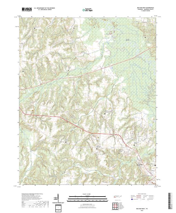
2022 Map of Bolivar West
USGS Topo · Published 2022About this map
Hatchie Bottom and the winding course of the Hatchie River dominate the eastern landscape of this Hardeman County region. The terrain is defined by a dense network of creek drainages, including Potters Cr and Short Cr, which feed into the low-lying wetlands. The settlement of Bolivar sits in the southeast, serving as a focal point for the surrounding rural communities. This area is particularly notable for its high concentration of family and institutional burial grounds, such as the Western State Hospital Cem - East and Western State Hospital Cem - West, providing significant data for genealogical research.
Find a feature on this map
77 named features on this map. Tap any name to fly to it.
Don’t see what you’re looking for? This feature index may not catch every label — zoom into the map to look around manually.
Map Details
Editions of this 2022 Bolivar West Map
This is the sole edition of this map. No revisions or reprints were ever made.
Other maps of this area

1950 · Hebron
USGS Topo · 1:24,000

1950 · Middleburg
USGS Topo · 1:24,000

1951 · Middleburg
USGS Topo · 1:24,000

1951 · Hebron
USGS Topo · 1:24,000

1951 · Hickory Valley
USGS Topo · 1:24,000

1956 · Blytheville
USGS Topo · 1:250,000

1959 · Blytheville
USGS Topo · 1:250,000

1959 · Whiteville
USGS Topo · 1:24,000

1959 · Hillville
USGS Topo · 1:24,000

1961 · Bolivar West
USGS Topo · 1:24,000