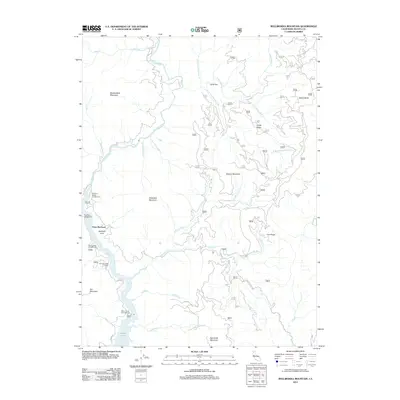
2012 Map of Bollibokka Mountain
USGS Topo · Published 2012About this map
The McCloud River carves a deep path through the northern reaches of Shasta Lake, defining a landscape where steep ridges like Nosoni Mountain and Bollibokka Mountain dominate the horizon. This terrain illustrates the transition from the upper river valley to the reservoir's fingers, featuring unique geological and recreational sites including Samwell Cave near Point McCloud. The map reveals a network of remote access points such as Fenders Ferry Rd and Gilman Rd that connect isolated campgrounds like Ellery Creek Campground and McCloud Bridge Campground. These recreation sites and named peaks such as Hirz Mountain highlight the area's importance for public land management and outdoor navigation in the Shasta-Trinity region during the early twenty-first century.
Find a feature on this map
34 named features on this map. Tap any name to fly to it.
Don’t see what you’re looking for? This feature index may not catch every label — zoom into the map to look around manually.
Map Details
Editions of this 2012 Bollibokka Mountain Map
This is the sole edition of this map. No revisions or reprints were ever made.
Other maps of this area

1886 · Shasta
USGS Topo · 1:250,000

1890 · Red Bluff
USGS Topo · 1:250,000

1894 · Red Bluff
USGS Topo · 1:250,000

1894 · Shasta
USGS Topo · 1:250,000

1901 · Redding
USGS Topo · 1:125,000

1935 · Dunsmuir
USGS Topo · 1:125,000

1946 · Lamoine
USGS Topo · 1:62,500

1948 · Weed
USGS Topo · 1:250,000

1949 · Bollibokka Mtn
USGS Topo · 1:62,500

1950 · Weed
USGS Topo · 1:250,000