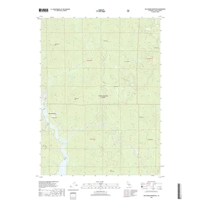
2018 Map of Bollibokka Mountain
USGS Topo · Published 2018About this map
Point McCloud and the surrounding wilderness of the Shasta National Forest define this landscape dominated by the winding course of the McCloud River. The terrain is characterized by a series of prominent peaks and ridges, including Bollibokka Mtn, Nosoni Mtn, and Hirz Mtn. A significant geologic and archaeological landmark, Samwell Cave, is located near the western bank of the river, offering a specific point of interest for local historians. The complex hydrology of the area is evident in the numerous tributaries like Chatterdown Cr and Nasoni Creek that feed into the McCloud River Arm. The presence of several forest roads, such as 34n17 and 36n37, indicates the infrastructure managing this remote timber and recreation area in the late 2010s.
Find a feature on this map
41 named features on this map. Tap any name to fly to it.
Don’t see what you’re looking for? This feature index may not catch every label — zoom into the map to look around manually.
Map Details
Editions of this 2018 Bollibokka Mountain Map
This is the sole edition of this map. No revisions or reprints were ever made.
Other maps of this area

1886 · Shasta
USGS Topo · 1:250,000

1890 · Red Bluff
USGS Topo · 1:250,000

1894 · Red Bluff
USGS Topo · 1:250,000

1894 · Shasta
USGS Topo · 1:250,000

1901 · Redding
USGS Topo · 1:125,000

1935 · Dunsmuir
USGS Topo · 1:125,000

1946 · Lamoine
USGS Topo · 1:62,500

1948 · Weed
USGS Topo · 1:250,000

1949 · Bollibokka Mtn
USGS Topo · 1:62,500

1950 · Weed
USGS Topo · 1:250,000