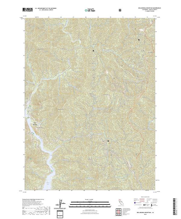
2023 Map of Bollibokka Mountain
USGS Topo · Published 2023About this map
Shasta Lake reaches into the southern portion of this terrain, where the McCloud River Arm and Moore Creek feed into the reservoir's complex shoreline. The landscape is defined by the steep drainage basins of the McCloud River system, including Chatterdown Creek and Nosoni Creek. Notable high points like Bollibokka Mtn and Nosoni Mtn overlook the winding watercourses, while the Curl Ridge Jeep Trl provides a path through the northeastern highlands toward Signal Butte.
Find a feature on this map
35 named features on this map. Tap any name to fly to it.
Don’t see what you’re looking for? This feature index may not catch every label — zoom into the map to look around manually.
Map Details
Editions of this 2023 Bollibokka Mountain Map
This is the sole edition of this map. No revisions or reprints were ever made.
Other maps of this area

1886 · Shasta
USGS Topo · 1:250,000

1890 · Red Bluff
USGS Topo · 1:250,000

1894 · Red Bluff
USGS Topo · 1:250,000

1894 · Shasta
USGS Topo · 1:250,000

1901 · Redding
USGS Topo · 1:125,000

1935 · Dunsmuir
USGS Topo · 1:125,000

1946 · Lamoine
USGS Topo · 1:62,500

1948 · Weed
USGS Topo · 1:250,000

1949 · Bollibokka Mtn
USGS Topo · 1:62,500

1950 · Weed
USGS Topo · 1:250,000