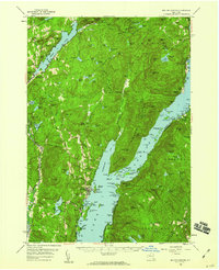
1958 Map of Bolton Landing
USGS Topo · Published 1960About this map
The Tongue Mountain Range dominates the center of this Adirondack landscape, extending deep into the waters of Lake George. Along the eastern and western shores of the lake, the 1950s settlement pattern is clearly defined, with communities like Bolton Landing, Silver Bay, and Hague serving as centers of activity. The map captures the area before modern developments significantly altered the shoreline, showing individual docks and smaller hamlets such as Sabbathday Point and Huletts Landing on the eastern side.
Find a feature on this map
99 named features on this map. Tap any name to fly to it.
Don’t see what you’re looking for? This feature index may not catch every label — zoom into the map to look around manually.
Map Details
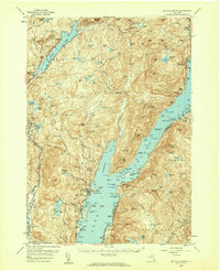
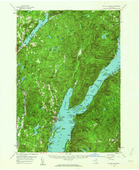
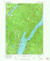
Editions of this 1958 Bolton Landing Map
4 editions found
Other maps of this area

1893 · Fort Ann
USGS Topo · 1:62,500

1893 · Whitehall
USGS Topo · 1:62,500

1894 · Ticonderoga
USGS Topo · 1:62,500

1895 · Whitehall
USGS Topo · 1:62,500

1895 · North Creek
USGS Topo · 1:62,500

1895 · Fort Ann
USGS Topo · 1:62,500

1895 · Paradox Lake
USGS Topo · 1:62,500

1895 · Glens Falls
USGS Topo · 1:62,500

1896 · Ticonderoga
USGS Topo · 1:62,500

1897 · Bolton
USGS Topo · 1:62,500