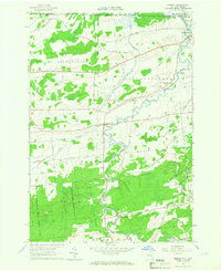
1964 Map of Bombay
USGS Topo · Published 1966About this map
The international border between Canada and the United States defines the northern edge of this northern Franklin County landscape, where the St Regis Indian Reservation meets the township of Fort Covington. The Salmon River and its tributary, the Little Salmon River, carve through the terrain, punctuated by the sharp turn at Shirttail Bend. Local transportation in the mid-1960s was anchored by the Grand Trunk Railroad, which runs parallel to the Grand Trunk Road through the village of Bombay.
Find a feature on this map
52 named features on this map. Tap any name to fly to it.
Don’t see what you’re looking for? This feature index may not catch every label — zoom into the map to look around manually.
Map Details
Editions of this 1964 Bombay Map
2 editions found
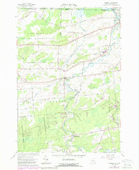
Other maps of this area

1915 · Malone
USGS Topo · 1:62,500

1915 · Moira
USGS Topo · 1:62,500

1917 · Malone
USGS Topo · 1:62,500

1917 · Moira
USGS Topo · 1:62,500

1944 · Moira
USGS Topo · 1:62,500

1948 · Ogdensburg
USGS Topo · 1:250,000

1951 · Ogdensburg
USGS Topo · 1:250,000

1953 · Ogdensburg
USGS Topo · 1:250,000

1961 · Ogdensburg
USGS Topo · 1:250,000
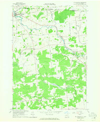
1964 · Ft. Covington
USGS Topo · 1:24,000