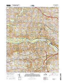
2016 Map of Bon Air
USGS Topo · Published 2016About this map
The James River serves as the central artery for this portion of central Virginia, separating the suburban developments of Henrico Co from Chesterfield Co. The landscape is a complex of established residential districts and natural landmarks, including Tuckahoe Island and Williams Island. Significant local history is preserved in sites like the Gravel Hill Cem and Trabue Cem, alongside the sprawling grounds of the Univ of Richmond. The area’s historic infrastructure remains visible through the James River and Kanawha Canal, which runs parallel to the river. High-density residential growth is evident in settlements such as Ziontown, Lorraine, and Bon Air, while major crossings like the Huguenot Memorial Bridge facilitate movement across the water. From the wooded residential enclaves of Mooreland Farms to the industrial and commercial corridors near Dumbarton, the map illustrates the modern character of the Richmond metropolitan area.
Find a feature on this map
222 named features on this map. Tap any name to fly to it.
Don’t see what you’re looking for? This feature index may not catch every label — zoom into the map to look around manually.
Map Details
Editions of this 2016 Bon Air Map
This is the sole edition of this map. No revisions or reprints were ever made.
Other maps of this area

1890 · Goochland
USGS Topo · 1:125,000

1892 · Goochland
USGS Topo · 1:125,000

1894 · Bermuda Hundred
USGS Topo · 1:62,500

1894 · Richmond
USGS Topo · 1:62,500

1895 · Richmond
USGS Topo · 1:62,500

1897 · Amelia
USGS Topo · 1:125,000

1934 · Richmond
USGS Topo · 1:24,000

1936 · Richmond West
USGS Topo · 1:24,000

1936 · Glen Allen
USGS Topo · 1:24,000

1938 · Drewrys Bluff
USGS Topo · 1:24,000