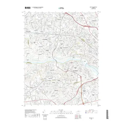
2019 Map of Bon Air
USGS Topo · Published 2019About this map
The James River and the historic James River and Kanawha Canal define the corridor between Tuckahoe and Richmond in this modern survey. The landscape transitions from the dense suburban developments of Westhampton and Crestview to the prestigious grounds of the University of Richmond, which sits adjacent to Westhampton Lake. The map details a complex web of neighborhoods including Ziontown, Drouin Hill, and Stratford Hills, reflecting the intensive residential growth of the late 20th and early 21st centuries.
Find a feature on this map
77 named features on this map. Tap any name to fly to it.
Don’t see what you’re looking for? This feature index may not catch every label — zoom into the map to look around manually.
Map Details
Editions of this 2019 Bon Air Map
This is the sole edition of this map. No revisions or reprints were ever made.
Other maps of this area

1890 · Goochland
USGS Topo · 1:125,000

1892 · Goochland
USGS Topo · 1:125,000

1894 · Bermuda Hundred
USGS Topo · 1:62,500

1894 · Richmond
USGS Topo · 1:62,500

1895 · Richmond
USGS Topo · 1:62,500

1897 · Amelia
USGS Topo · 1:125,000

1934 · Richmond
USGS Topo · 1:24,000

1936 · Richmond West
USGS Topo · 1:24,000

1936 · Glen Allen
USGS Topo · 1:24,000

1938 · Drewrys Bluff
USGS Topo · 1:24,000