Loading...
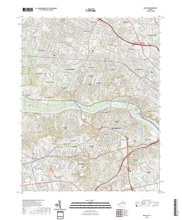
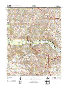
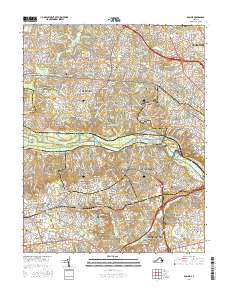
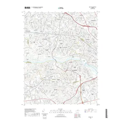
Loading map...2022 Map of Bon Air
USGS Topo · Published 2022About this map
The James River serves as the central divide in this suburban landscape, with the historic James River and Kanawha Canal skirting its northern bank. To the north, established neighborhoods like Tuckahoe and Dumbarton are joined by many smaller residential enclaves such as Ziontown, Westham, and Glenbrook Hills. The University of Richmond area is anchored by Westhampton Lake, while the river itself is punctuated by Williams Island and Tuckahoe Island.
Find a feature on this map
72 named features on this map. Tap any name to fly to it.
Don’t see what you’re looking for? This feature index may not catch every label — zoom into the map to look around manually.
Map Details
Date Portrayed2022
Date Published2022
PublisherU.S. Geological Survey
Map TypeTopographic
Scale1:24,000
Physical Dimensions24 x 29 inches
Editions of this 2022 Bon Air Map
This is the sole edition of this map. No revisions or reprints were ever made.
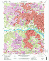
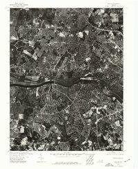
Historical Maps of Tuckahoe Through Time
7 maps found
Featured Locations
Source Details
SourceU.S. Geological Survey
CopyrightPublic Domain