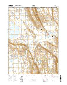
2017 Map of Bonanza
USGS Topo · Published 2017About this map
Bonanza serves as the central hub of this eastern Klamath County landscape, where the Lost River meanders through a valley floor defined by agricultural and hydrologic engineering. The town layout is clearly visible, anchored by Bonanza Memorial Park and the nearby Bonanza Springs. The surrounding terrain transitions from the seasonal waters of Alkali Lake to the higher elevations of Short Lake Mtn.
Find a feature on this map
43 named features on this map. Tap any name to fly to it.
Don’t see what you’re looking for? This feature index may not catch every label — zoom into the map to look around manually.
Map Details
Editions of this 2017 Bonanza Map
This is the sole edition of this map. No revisions or reprints were ever made.
Other maps of this area

1889 · Klamath
USGS Topo · 1:250,000

1894 · Klamath
USGS Topo · 1:250,000

1955 · Klamath Falls
USGS Topo · 1:250,000

1957 · Merrill
USGS Topo · 1:62,500

1957 · Swan Lake
USGS Topo · 1:62,500

1957 · Malin
USGS Topo · 1:62,500

1958 · Klamath Falls
USGS Topo · 1:250,000

1960 · Beatty
USGS Topo · 1:62,500
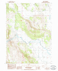
1985 · Dairy
USGS Topo · 1:24,000
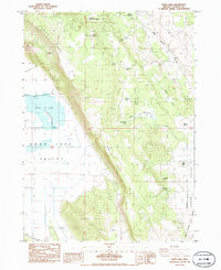
1985 · Swan Lake
USGS Topo · 1:24,000