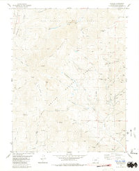
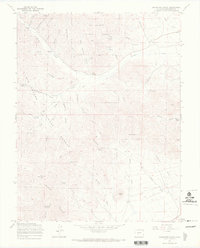
1980 Map of Bonanza
USGS Topo · Published 1981About this map
Bonanza serves as the central hub for this high-altitude mining district, situated at the convergence of three National Forests: Gunnison, San Isabel, and Rio Grande. The landscape is dominated by steep drainage basins and massive peaks like Antora Peak and Sheep Mountain, while the industrial history of the region is written into the gulches. Extensive operations are mapped along Rawley Gulch and Squirrel Creek, including the Rawley Mines, Superior Mill, and Sosthenes Mine.
Find a feature on this map
102 named features on this map. Tap any name to fly to it.
Don’t see what you’re looking for? This feature index may not catch every label — zoom into the map to look around manually.
Map Details
Editions of this 1980 Bonanza Map
3 editions found
Other maps of this area

1956 · Montrose
USGS Topo · 1:250,000

1959 · Montrose
USGS Topo · 1:250,000

1959 · Bonanza
USGS Topo · 1:62,500

1960 · Montrose
USGS Topo · 1:250,000

1967 · Lake Mountain NE
USGS Topo · 1:24,000

1967 · Chester
USGS Topo · 1:24,000

1967 · Pahlone Peak
USGS Topo · 1:24,000
1967 · Klondike Mine
USGS Topo · 1:24,000
1967 · Graveyard Gulch
USGS Topo · 1:24,000

1968 · Montrose
USGS Topo · 1:250,000