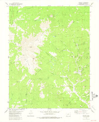
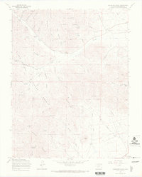
1980 Map of Bonanza
USGS Topo · Published 1981About this map
High-altitude silver and base-metal mining history is preserved on this map, which centers on the remote settlement of Bonanza. Located in the northern reaches of the San Luis Valley, the town and its neighbor Little Bonanza are surrounded by a dense concentration of 19th-century mining claims. Industrial features like the Rawley Mine and the Superior Mill indicate a landscape heavily shaped by mineral extraction, while the presence of the Brewery Creek Guard Sta and the Cem reflect the community infrastructure required to support these isolated mountain camps. The terrain is marked by the Continental Divide to the west, rising to the prominent Antora Peak. The map documents a complex network of resource extraction roads, such as Toll Road Gulch and Wagon Box Gulch, that once connected these mines to processing facilities and downstream markets along Kerber Creek.
Find a feature on this map
65 named features on this map. Tap any name to fly to it.
Don’t see what you’re looking for? This feature index may not catch every label — zoom into the map to look around manually.
Map Details
Editions of this 1980 Bonanza Map
3 editions found
Other maps of this area

1956 · Montrose
USGS Topo · 1:250,000

1959 · Montrose
USGS Topo · 1:250,000

1959 · Bonanza
USGS Topo · 1:62,500

1960 · Montrose
USGS Topo · 1:250,000

1967 · Lake Mountain NE
USGS Topo · 1:24,000

1967 · Chester
USGS Topo · 1:24,000

1967 · Pahlone Peak
USGS Topo · 1:24,000
1967 · Klondike Mine
USGS Topo · 1:24,000
1967 · Graveyard Gulch
USGS Topo · 1:24,000

1968 · Montrose
USGS Topo · 1:250,000