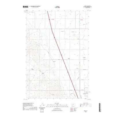
2020 Map of Bond
USGS Topo · Published 2020About this map
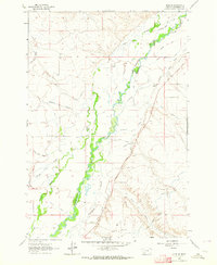
Irrigation infrastructure and ranching access dominate this portion of Beaverhead County, where the West Side Canal and numerous ditches like Morton Ditch and Guidici Ditch manage water through the high valley. The settlement of Bond serves as a central point along the north-south transit corridor, surrounded by a network of named lanes including Dutchman Ln and Spring Creek Rd. The landscape transitions from the managed wetlands of Willard Slough and Black Slough toward the more varied terrain of Frying Pan Basin and Cave Gulch. Small-scale water storage is visible at Blomquist Reservoir and Overnight Reservoir, reflecting the essential role of water management in this agricultural region. Topographic detail also tracks several local drainages, such as Frying Pan Gulch, which carve through the foothills west of the main canal systems.
Find a feature on this map
43 named features on this map. Tap any name to fly to it.
Don’t see what you’re looking for? This feature index may not catch every label — zoom into the map to look around manually.
Map Details
Editions of this 2020 Bond Map
This is the sole edition of this map. No revisions or reprints were ever made.
Other maps of this area
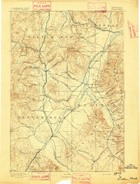
1893 · Dillon
USGS Topo · 1:250,000
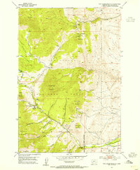
1952 · Twin Adams Mountain
USGS Topo · 1:24,000
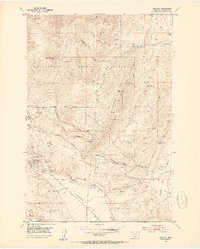
1952 · Argenta
USGS Topo · 1:24,000
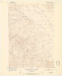
1952 · Burns Mountain
USGS Topo · 1:24,000

1955 · Dillon
USGS Topo · 1:250,000

1957 · Dillon
USGS Topo · 1:250,000
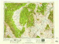
1958 · Dillon
USGS Topo · 1:250,000
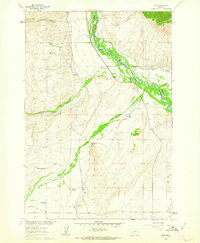
1960 · Glen
USGS Topo · 1:24,000
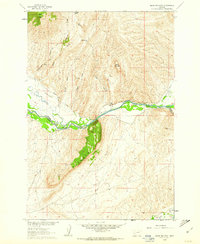
1960 · Block Mountain
USGS Topo · 1:24,000
1961 · Glen SE
USGS Topo · 1:24,000