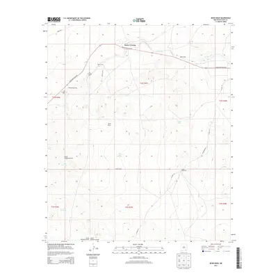
2013 Map of Bond Draw
USGS Topo · Published 2013About this map
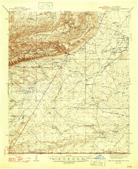
Harkey Crossing serves as a focal point in this portion of Eddy County, where the landscape is defined by its arid drainage systems and ranching heritage. The movement of water across this high desert is recorded through numerous ephemeral channels such as Bond Draw, Threemile Draw, and China Draw. Ranching operations are clearly marked by the presence of the Reeves Ranch, Roy Forehand Ranch, and John Forehand Ranch, reflecting the enduring family landholdings in the region. Infrastructure for water management is a primary feature, including the Southern Canal in the northeast and a series of livestock tanks like Beaman Tank and Double Tank. The presence of Harkey Double Mills further emphasizes the historic reliance on wind power and well systems to sustain livestock in this environment, while local routes like Black River Village Rd provide the essential transit network between these isolated points.
Find a feature on this map
27 named features on this map. Tap any name to fly to it.
Don’t see what you’re looking for? This feature index may not catch every label — zoom into the map to look around manually.
Map Details
Editions of this 2013 Bond Draw Map
This is the sole edition of this map. No revisions or reprints were ever made.
Other maps of this area
1939 · Carlsbad
USGS Topo · 1:62,500
1943 · Carlsbad
USGS Topo · 1:62,500
1943 · West Carlsbad
USGS Topo · 1:62,500
1945 · West Carlsbad
USGS Topo · 1:62,500
1945 · Carlsbad Caverns East
USGS Topo · 1:62,500
1945 · Malaga
USGS Topo · 1:62,500
1946 · Malaga
USGS Topo · 1:62,500
1947 · Carlsbad Caverns East
USGS Topo · 1:62,500

1954 · Carlsbad
USGS Topo · 1:250,000

1958 · Carlsbad
USGS Topo · 1:250,000