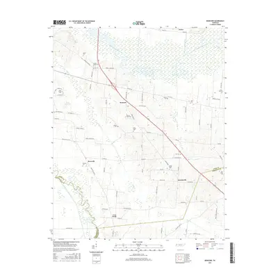
2016 Map of Bonicord
USGS Topo · Published 2016About this map
The North Fork Forked Deer River and its tributary Nash Creek define the low-lying drainage patterns of this rural West Tennessee landscape, where the borders of Dyer, Lauderdale, and Crockett Counties converge. The settlement of Bonicord serves as a central point along the local road network, surrounded by a high density of family and community burial grounds that speak to the area's deep genealogical roots. From Sorrell Chapel Cem in the north to Belle Vernon Cem in the southeast, these sites are often associated with local landmarks like Miller Chapel Cem and Palestine Cem. The terrain is shaped by agricultural water management features such as Parker Ditch and the winding course of Pond Cr, reflecting a landscape dedicated to river-bottom farming and small, dispersed communities like Bruceville and Hawkinsville.
Find a feature on this map
79 named features on this map. Tap any name to fly to it.
Don’t see what you’re looking for? This feature index may not catch every label — zoom into the map to look around manually.
Map Details
Editions of this 2016 Bonicord Map
This is the sole edition of this map. No revisions or reprints were ever made.
Other maps of this area

1939 · Dyersburg
USGS Topo · 1:62,500

1939 · Halls
USGS Topo · 1:62,500

1952 · Gates
USGS Topo · 1:24,000

1952 · Bonicord
USGS Topo · 1:24,000

1952 · Newbern
USGS Topo · 1:24,000

1952 · Dyersburg
USGS Topo · 1:24,000

1952 · Chestnut Bluff
USGS Topo · 1:24,000

1952 · Fowlkes
USGS Topo · 1:24,000

1956 · Dyersburg
USGS Topo · 1:250,000

1956 · Blytheville
USGS Topo · 1:250,000