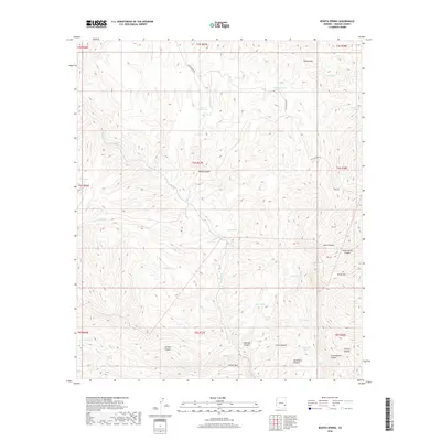
2018 Map of Bonita Spring
USGS Topo · Published 2018About this map
Bonita Spring and the drainage of Bonita Cr anchor this high-elevation landscape in Graham County. The terrain is defined by a dense network of canyons and peaks, including Turkey Mtn in the north and the prominent Farrell Mtn and Turtle Mtn to the south. This environment necessitated a complex system of water management for local ranching or wildlife, evidenced by numerous named water sources like Midnight Tank, Lower Windy Tank, and Wesley Tank.
Find a feature on this map
45 named features on this map. Tap any name to fly to it.
Don’t see what you’re looking for? This feature index may not catch every label — zoom into the map to look around manually.
Map Details
Editions of this 2018 Bonita Spring Map
This is the sole edition of this map. No revisions or reprints were ever made.
Other maps of this area

1902 · Clifton
USGS Topo · 1:62,500

1913 · Morenci
USGS Topo · 1:125,000

1915 · Morenci
USGS Topo · 1:125,000

1954 · Silver City
USGS Topo · 1:250,000

1954 · Clifton
USGS Topo · 1:250,000

1957 · Clifton
USGS Topo · 1:250,000

1958 · Silver City
USGS Topo · 1:250,000

1958 · Clifton
USGS Topo · 1:250,000

1960 · Guthrie
USGS Topo · 1:62,500

1960 · Safford
USGS Topo · 1:62,500