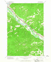
1965 Map of Bonner
USGS Topo · Published 1967About this map
The confluence of the Blackfoot R and the Clark Fork serves as the industrial and transit anchor for this Missoula County corridor. Heavily influenced by the lumber and transport industries of the mid-1960s, the map illustrates a landscape defined by parallel rail lines: the Northern Pacific and the Chicago Milwaukee St Paul and Pacific. These tracks flank the river and highway, connecting the timber-rich reaches of the Lolo National Forest to processing centers.
Find a feature on this map
32 named features on this map. Tap any name to fly to it.
Don’t see what you’re looking for? This feature index may not catch every label — zoom into the map to look around manually.
Map Details
Editions of this 1965 Bonner Map
2 editions found
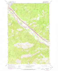
Other maps of this area

1903 · Bonner
USGS Topo · 1:125,000

1947 · Butte
USGS Topo · 1:250,000

1958 · Butte
USGS Topo · 1:250,000

1959 · Cleveland Mountain
USGS Topo · 1:62,500

1959 · Ravenna
USGS Topo · 1:62,500

1960 · Butte
USGS Topo · 1:250,000

1962 · Butte
USGS Topo · 1:250,000
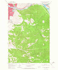
1964 · Southeast Missoula
USGS Topo · 1:24,000

1964 · Northeast Missoula
USGS Topo · 1:24,000
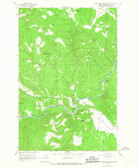
1965 · Sunflower Mountain
USGS Topo · 1:24,000